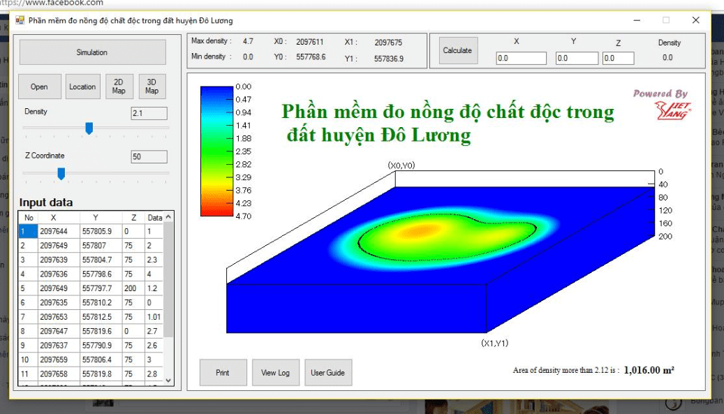
Recently we have developed software to simulate the spread of toxins in soil in Districts in Nghe An. The function of the software is based on input data (longitude, latitude, measured toxic concentration) of a number of points, to simulate the toxic concentration of the entire surrounding area. The software also helps map out the boundaries of areas in which the toxic concentration is greater than a certain specified value.
Mathematical and graphic algorithms are 100% implemented by the ideas of Viet Vang company employees, creating the uniqueness of the software. Currently the software only supports Windows operating system.
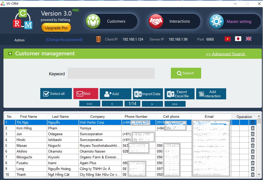
Some pictures of the software and acceptance session:

Acceptance session


